In 2011, a nationwide Save the Irrawaddy campaign convinced President Thein Sein to suspend construction of a 6,000-megawatt dam at the source of the Irrawaddy River in Kachin State.
The immediate outcome is that this 2,170-kilometre river continues to flow uninterrupted; fish species, most notably the butterfish, and the endangered Irrawaddy dolphin now have a chance to breed and grow in numbers.
The Irrawaddy (officially Ayeyarwady) River provides livelihood to nearly a million people in Burma, as it cascades down from the foothills of the Himalayas through Kachin State capital Myitkyina, Bhamo, Mandalay, Sagaing, Bagan, Pyay and the fertile Irrawaddy delta region, before finally emptying in the Andaman Sea.
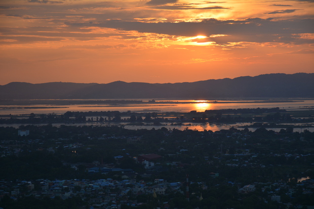
DVB takes a cruise along a short stretch of this magnificent waterway – from Mingun to Mandalay to Sagaing to Pakokku to Bagan – at the end of rainy season when the river is up to 16 metres deep and one kilometre in width.
[related]
Thein Sein’s presidency may well be drawing to a close, and activists and locals alike will be anxiously watching to see whether the new government upholds the principle of protecting the nation’s favourite river.
From yesterday: Myitsone dam has cost us $800m, says China


