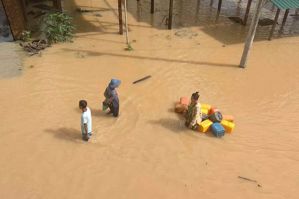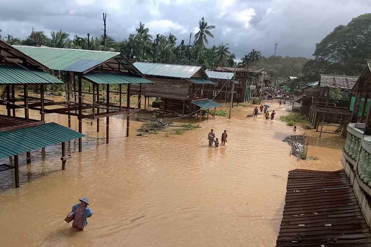


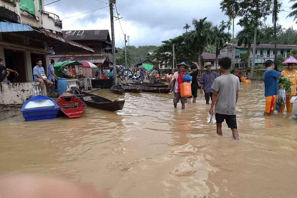
Over 2,000 residents in Tanintharyi Township were forced to evacuate after the Tanintharyi River breached its 24-foot (7.3-meter) danger threshold on Thursday.
The inundation marks the second major flood to strike southern Tanintharyi Region in less than a month, forcing local responders to establish five emergency shelters as heavy monsoon rains continue across Myanmar.
Nationwide floods and casualties
Continuous monsoon rains since late June have triggered severe widespread flooding across Sagaing, Magway, Mandalay, Ayeyarwady, and Tanintharyi regions, as well as Karen State.
Nationwide Humanitarian Impact (NUG Data)
├── Total Flood Impacted Population: 440,000 to 620,000 residents across 25 townships
├── Sagaing Region Dual Crisis (Since Aug 8):
│   ├── Flood Fatalities: 24 civilians killed
│   └── Airstrike Fatalities: 37 civilians killed
├── Ayeyarwady Region Impact (Since July 31):
│   └── Affected Population: 150,000+ residents; 7 flood fatalities
└── Concurrent Air Attacks (Aug 8–23): 239 airstrikes (88 killed / 157 injured nationwide)
In Sagaing Region, civilian relief efforts are heavily compromised as flooded terrain leaves displaced populations exposed to ongoing regime airstrikes.
Aid weaponization and blockades
Rescue workers report that regime forces have enforced a total blockade on relief supplies entering high-impact zones in central Myanmar:
- Irrawaddy Bridge Closure: Soldiers shut down the Sagaing (Yadanabon) Bridge on Aug. 8—the primary river crossing connecting Mandalay to Sagaing—turning back private humanitarian aid convoys traveling from as far as Yangon.
- Regime Claims vs. Reality: Pro-regime media reported that Naypyidaw has distributed 3.1 billion MMK ($700,000 USD) in flood aid since late July. Regime leader Min Aung Hlaing separately announced receiving over 23 billion MMK ($5.2 million USD) in flood relief donations during an Aug. 8 ceremony in Ayeyarwady’s Lemyethna Township. However, local aid groups in Ayeyarwady’s Lemyethna, Yekyi, Hinthada, Kyonpyaw, and Aingthabyu townships report that state assistance remains virtually non-existent for isolated survivors.
| Regional Zone | Official Advisory | Risk Profile |
| Tanintharyi Region | Department of Meteorology and Hydrology (DMH) heavy rainfall warning. | High risk of flash flooding and landslides along riverbanks and mountain slopes. |
| Central Basin (Sagaing, Magway, Mandalay) | Ongoing high-water advisories along Irrawaddy and Chindwin river systems. | Sustained riverbank erosion and prolonged displacement in low-lying agricultural zones. |