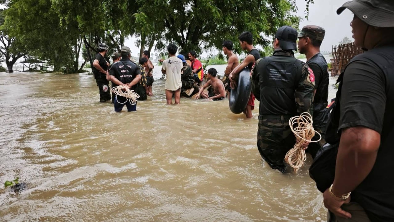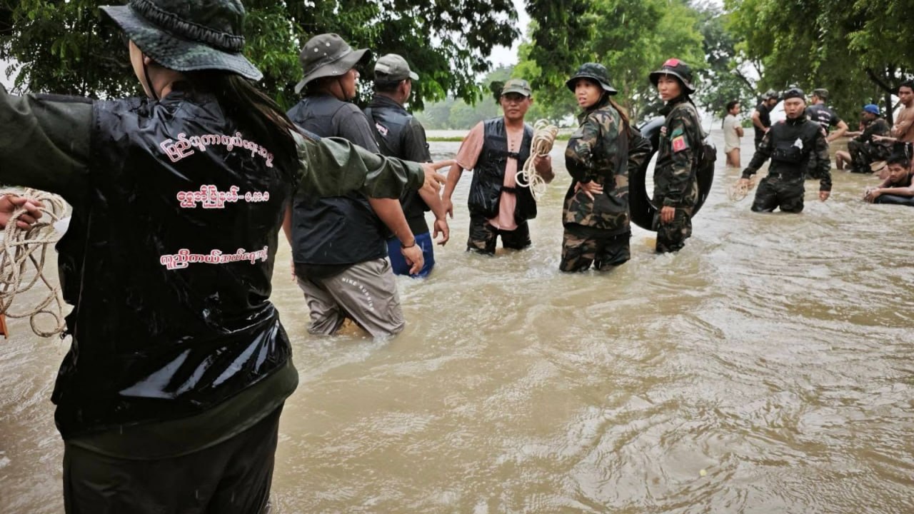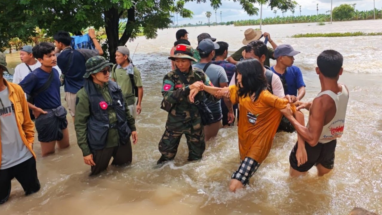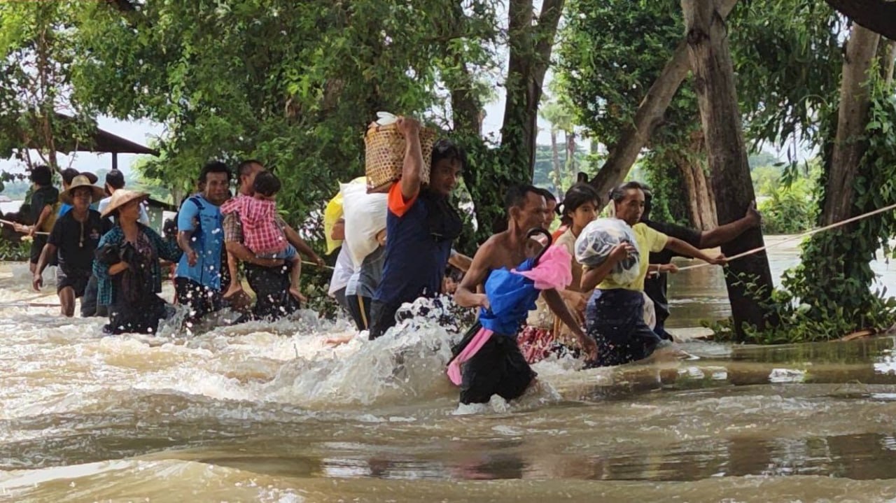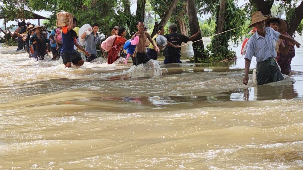


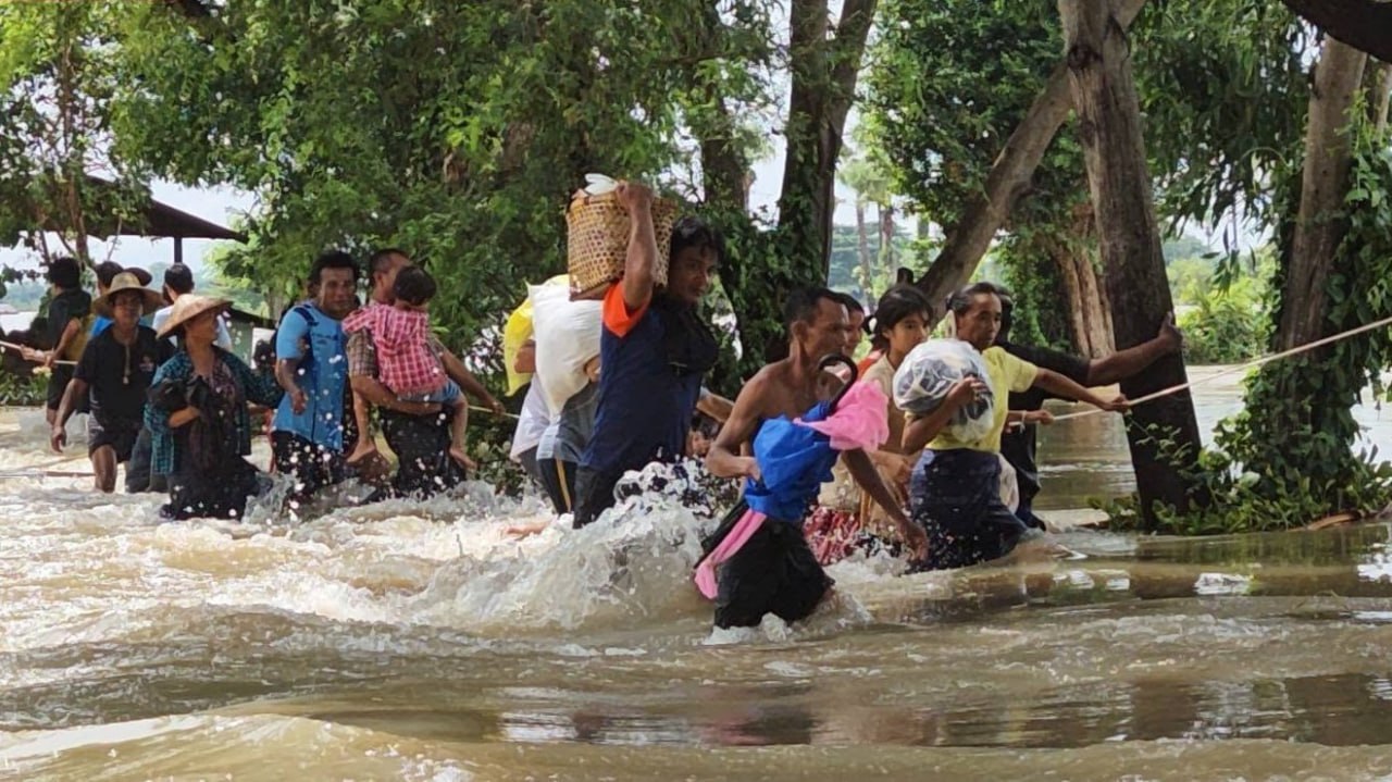
At least 25 people have been killed and two remain missing in widespread monsoon flooding that has impacted 441,788 residents across 17 townships in Sagaing, Magway, Mandalay, and Ayeyarwady regions, the civilian National Unity Government (NUG) reported on Monday.
The disaster has been compounded by emergency water releases from major reservoirs—including the Thaphan Seik and Sedawgyi dams—alongside structural failures along the Ngawun River embankment system.
1. Sagaing Region: Thaphan Seik Dam discharges cause 23 Deaths
The heaviest casualty toll occurred in Sagaing Region, where 23 people were killed and two reported missing across 11 townships: Shwebo, Taze, Kanbalu, Ayardaw, Depayin, Kyunhla, Kawlin, Wetet, Ye-U, Banmauk, and Khin-U.
Myanmar Flood Impact Regional Summary (August 2026)
├── Total Affected: 441,788 residents across 17 townships
├── Total Fatalities: 25 confirmed dead | 2 missing
├── Sagaing Region: 23 deaths | 2 missing | 11 townships affected (Mu River overflow)
├── Ayeyarwady Region: 2 deaths | 44,000+ acres submerged (Over 1M rice bags lost)
└── Mandalay Region: 150,000 affected in Madaya | 26,000 affected in Ngazun
The flooding surged on Aug. 6 when large water discharges from the Thaphan Seik Dam spillway caused the Mu River to overflow into surrounding settlements located 58-112 miles (93-180 km) northeast of the region’s capital Monywa. These townships have been partially administered by the NUG since 2022.
“The Mu River in Sagaing Region has eased, but the flooding has yet to recede,” Ngai Tam Maung, the NUG Deputy Minister for Social, Labour and Humanitarian Affairs, told DVB on Aug. 10.
- Relief Allocations: The NUG allocated 100 million MMK ($22,700 USD) for emergency rescue and relief works.
- Joint Command: On Aug. 9, the NUG established a joint Emergency Response Committee alongside the Sagaing Federal Unit Interim Government—a civilian administration established in November 2025 by elected National League for Democracy (NLD) lawmakers.
- 2. Ayeyarwady Region: Crop destruction and disputed aid
In Ayeyarwady Region, two flood-related deaths were recorded in Lemyethna Township, where flooding began in late July. While local sources initially reported a 50-foot embankment breach, regime spokesperson Khaing Khaing Soe claimed on Aug. 7 that the Ngawun River embankment had “sunk” into the ground rather than breached, causing floodwaters to spill over.
- Agricultural Losses: Floodwaters have inundated over 44,000 acres of farmland across Lemyethna and Kyonpyaw townships, located 51-75 miles north of the region’s capital Pathein. NUG Deputy Minister Ngai Tam Maung noted that the submerged agricultural land had the capacity to produce over one million bags of rice.
- Expanding Scope: The inundation has spread to neighbouring Hinthada and Myanaung townships, located 86-141 miles north of Pathein.
- Aid Controversies: The regime stated that Naypyidaw spent 146 million MMK ($33,950 USD) in aid for over 40,000 affected residents in Lemyethna. However, local residents reported receiving minimal assistance, consisting only of small rations of rice, bottled water, and dried meat.
- 3. Mandalay Region: Sedawgyi Dam Inundates Madaya and Ngazun
| Township | Location Relative to Mandalay | Estimated Affected Population | Impact / Status |
| Madaya | 23 miles (37 km) North | ~150,000 residents | 7+ villages submerged via Sedawgyi Dam spillway |
| Ngazun | 44 miles (70 km) West | ~26,000 residents | Low-lying riverside communities inundated |
No casualties have been confirmed in Madaya or Ngazun townships to date, though emergency relief teams report severe shortages of clean drinking water, temporary shelter materials, and essential medical supplies across isolated rural settlements.