


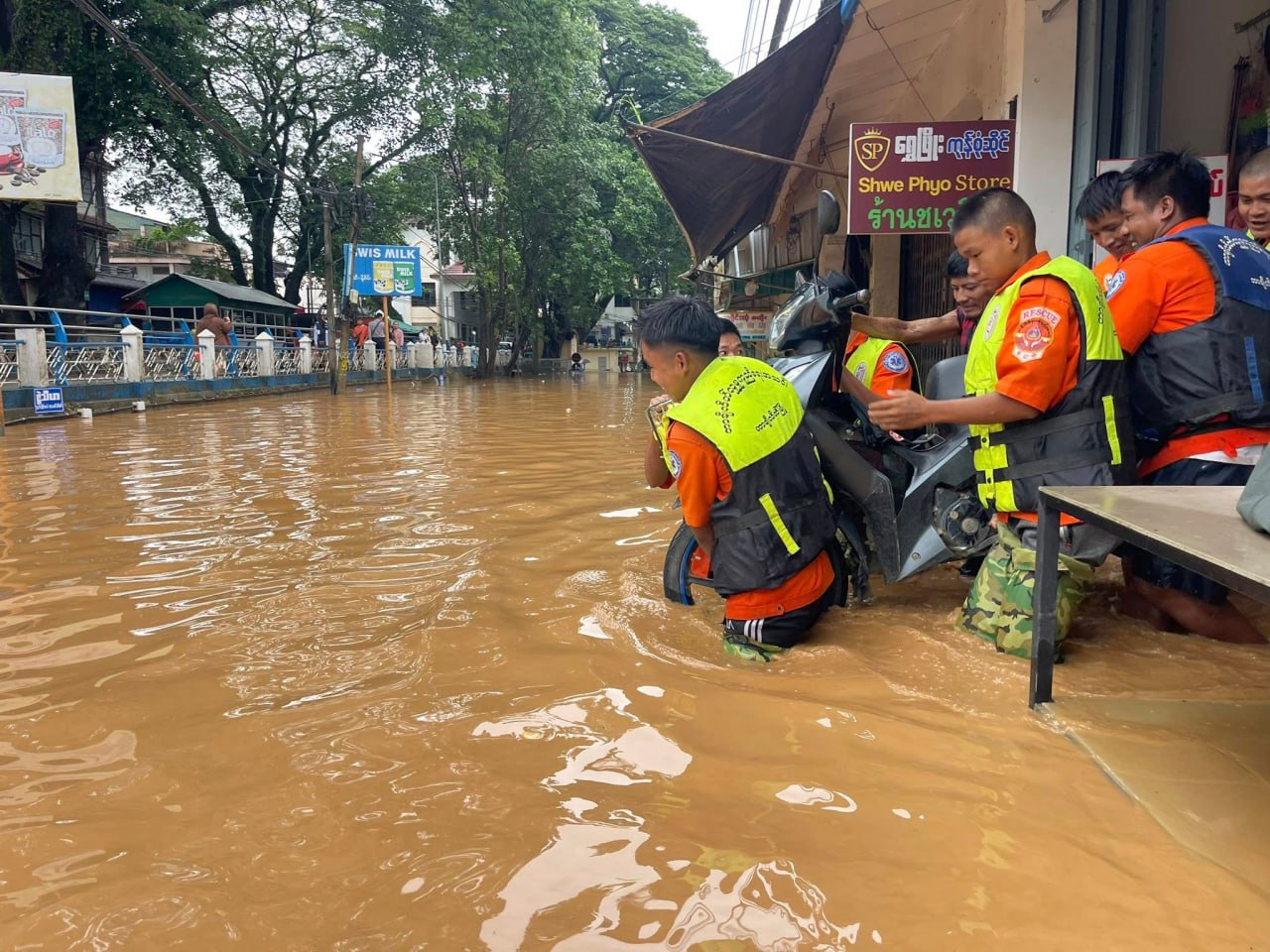
Evacuations began after the regime’s Department of Meteorology and Hydrology warned residents to move from low-lying areas as rivers overflowed in Shan State, Karen State, Mon State, as well as Bago Region, on Monday.
Media in the Karen State capital Hpa-An reported evacuations began on Monday after the Thanlwin River broke its banks due to the heavy rains.
Residents of Shwegyin Township, located 60-133 miles (96-214 km) north of the region’s capital Bago, told DVB that over 20,000 people had been evacuated to nearby monasteries as the Shwegyin River overflowed on Sunday. “The floodwaters are as high as an average adult’s waist,” an aid worker told DVB.
Residents in Mon State told DVB that over 2,000 people have taken refuge at eight temporary shelters as their homes have been flooded due to the mountain runoff caused by continuous rain in Bilin Township since July 25.
An aid worker told DVB on the condition of anonymity that floodwaters were as high as eight feet and affected over 10,000 residents across four urban wards and 20 villages. Bilin is located 69 miles (111 km) north of the Mon State capital Mawlamyine.
Residents of Pindaya Township in southern Shan State told DVB that six people died and more than 70 homes were destroyed by a landslide in Konesawng village after heavy rains on Sunday. Five people are still missing.
“Mountain runoff occurred all of a sudden when everyone was asleep,” a Konesawng resident told DVB on the condition of anonymity. Pindaya is located 50 miles (80 km) west of the Shan State capital Taunggyi.
Rescue workers told DVB that residents of Konesawng village were evacuated to temporary shelter where they are in need of food, blankets and medicine.
Flooding and landslides have been reported over the last few days across southern Shan, including Pinlaung, Nyaungshwe, Aungban, and Kalaw townships.
“Heavy rainfall causes mountain runoff,” a Kalaw resident told DVB on the condition of anonymity. At least 100 residents were killed by landslides last year in Kalaw, which is located 44 miles (70 km) west of Taunggyi.
Residents of Tachileik Township, located 324 miles (521 km) east of Taunggyi, told DVB that at least three neighborhoods were flooded after the water level of the Mae Sai River surpassed critical levels on Sunday.
“We evacuated people from the low-lying areas. The situation is not as bad as last year,” a rescue worker told DVB, referring to flooding in 2024 that killed at least 10 people. Evacuated Tachilek residents are now staying at temporary relief centers.
Tachileik is located across the Myanmar-Thailand border from Mae Sai, Chiang Rai Province. The No. 1 Myanmar-Thai Friendship Bridge has been closed temporarily. Win Naing, an independent meteorologist, told DVB that flooding is likely to continue until the end of August.